
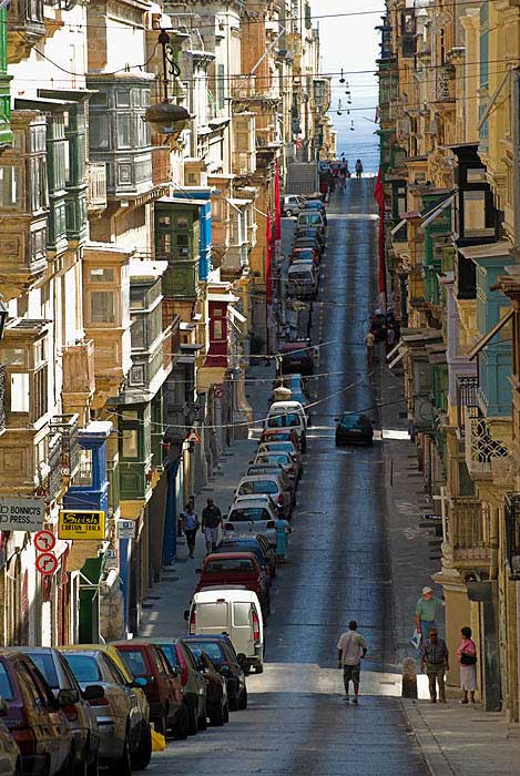
The island of Gozo lies in the Mediterranean Sea, just north of Malta, to which it belongs. With an area of 67 square kilometers it is the same size of my home island Kokar. There are differencies though: Gozo has just over 37,000 inhabitants, while Kokar has 250; Gozites drive to the left and they have a junction with a traffic light, Kokarites drive to the right and have no traffic regulations at all; Gozo has 42 churches with bell towers always showing two different times of day, Kokar has one church and no clock in the bell tower; On Gozo, civilization began three thousand years B.C. Two thousand years later Odysseus spent some time here with Calypso and that’s about the time when Kokar became civilized (or at least populated).
Regular ferry services to Gozo began in the year 1241. For over 650 years, ferries went to and from Valetta but nowadays they run between the two new ferry terminals Cirkewwa in the northwest of Malta and Mgarr on Gozo. It takes 23 minutes by boat from the urban, hectic Malta five kilometers across the strait to the sleepy, enchanting and casual Gozo.
More than half of the residents – Gozites – believe that a tunnel or a bridge between Gozo and Malta would improve life on the island, where the biggest problem is lack of work. Gozites compare their plans with the Great Belt and Øresund bridges even though these have a catchment area with a population ten times larger than the whole of Malta, and although they are a tunnel + bridge combo with large parts of the tunnel lying on the sea bed, not an excavated tunnel.
European islands are usually defined by the ocean to which they belong: the Mediterranean, the Atlantic or the Baltic Sea. On behalf of the European Economic and Social Committee EESC, ESIN just launched another classification based on degree of political autonomy (if the island is a municipal district, a municipality, a region or state) and the degree of remoteness (if the island has a bridge, is located near the coast, in the high seas or across the oceans).
When pouring the 2,140 EU islands into he matrix, it becomes evident that the further an island is from shore, the more independence it has and the more it collaborates with other islands. Small islands, adjacent to the mainland, do not have much of a saying and do not cooperate much with other small islands. And when becoming bridged or tunneled they lose their status and identity as islands. Building a fixed link to an island is like putting the umbilical cord back on a child.
The university course on regional planning for islands that I am heading on behalf of the Open University in Aland has fourteen students from Sweden, Aland, Finland, the Faroe Islands and Croatia. The students will analyze Europe’s two thousand islands: how can they be divided and segmented? Should we distinguish between rich and poor islands? Small and large? Near and far – far from what? Volcanoes, granit islands, sandbanks? Cold water islands and warm water islands? Sparsely populated and overcrowded? Energy self-sufficient or completely dependent on the mainland? Car-free or stuck with a lot of cars?
Free with no tunnel or imprisoned by a bridge?

And as I wrote this, Sweden’s leading newspaper Dagens Nyheter publishes an article on the fate of Öland, a big, bridged island in the southeast of Sweden.
http://www.dn.se/ekonomi/eu-oland-ar-ingen-o/